- Главная
- Разное
- Бизнес и предпринимательство
- Образование
- Развлечения
- Государство
- Спорт
- Графика
- Культурология
- Еда и кулинария
- Лингвистика
- Религиоведение
- Черчение
- Физкультура
- ИЗО
- Психология
- Социология
- Английский язык
- Астрономия
- Алгебра
- Биология
- География
- Геометрия
- Детские презентации
- Информатика
- История
- Литература
- Маркетинг
- Математика
- Медицина
- Менеджмент
- Музыка
- МХК
- Немецкий язык
- ОБЖ
- Обществознание
- Окружающий мир
- Педагогика
- Русский язык
- Технология
- Физика
- Философия
- Химия
- Шаблоны, картинки для презентаций
- Экология
- Экономика
- Юриспруденция
Что такое findslide.org?
FindSlide.org - это сайт презентаций, докладов, шаблонов в формате PowerPoint.
Обратная связь
Email: Нажмите что бы посмотреть
Презентация на тему по английскому языку на тему Kazakhstan , its geography
Содержание
- 4. Aktobe is my city
- 7. Сабақтың мақсаты : Қазақстан туралы мағлұмат беру
- 8. Aims of the lesson: to generalize knowledge
- 9. Терминмен жұмыс: 1.Listen, read and learn
- 10. 2.Say the following numbers: 2 753
- 11. Kazakhstan The Republic of Kazakhstan
- 12. Astana is situated in the central part
- 13. East and about 1300 kilometers from the
- 14. They are Irtish ,in the east,
- 15. The climate of the country is strongly
- 16. “Дұрыс”, “бұрыс ” ойыны1.Қазақстан Оңтүстік Азияда орналасқан.2.Қазақстанның
- 18. Картамен жұмыс 1. Қазақстанның астанасын картадан
- 19. Сандар сөйлегенде ...2 753 000190016 000 0001300
- 21. Скачать презентацию
- 22. Похожие презентации
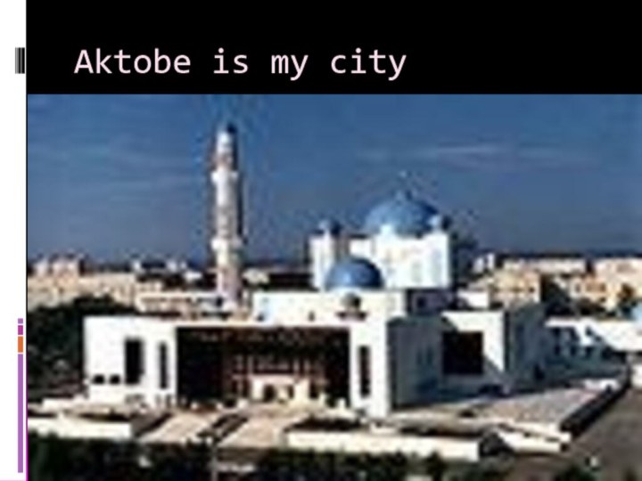
Aktobe is my city









Слайд 8 Aims of the lesson: to generalize knowledge of
the pupils of Kazakhstan and teach to speak about
Kazakhstan;To bring up love to a native land;
To develop listening, speaking, reading skills.
Слайд 9 Терминмен жұмыс: 1.Listen, read and learn how to
pronounce the proper names: Central Asia [ `sentrәl ` eiʃә
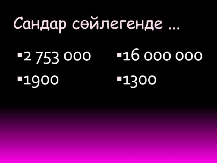
] Caspian Sea [`kӕspiәn `si: ] Siberia [sai`biәriә ] Altai Mountains [ᴧl’tai ‘mauntinz]Слайд 10 2.Say the following numbers: 2 753 000 –two million
seven hundred and fifty tree thousand: 1900- one thousand, nine
hundred 1300- one thousand, tree hundred 16 000 000 –sixteen millionСлайд 11 Kazakhstan The Republic of Kazakhstan is situated
in the Central Asia. The area of Kazakhstan is
2 753 000 square kilometers. Its population is about 16 million. The largest cities are Almaty , Karaganda, Shimkent , Pavlodar and Astana. Astana is the capital of the Republic .Astana is situated in the central part of the country. Kazakh is the official language of the country. Russian and other languages are spoken here too. Kazakhstan is the largest state in the Central Asia. It extends some 1900 kilometers from the Volga River in the west to the Altai Mountains in the East and about 1300 kilometers from the Siberia plain in the North to the Central Asia deserts in the South. Kazakhstan borders China, Russia, Turkmenistan, Uzbekistan and Kirgizia. There are a few rivers and lakes in Kazakhstan .The four rivers are the main resources of water in the country. They are Irtish ,in the east, Syr -Darya in the south west, Ille in the southeast and Ural in the northwest of the country. The largest lakes are Balkash, Zaisan, Ala-Kol and Tengis. The flora and fauna of the country are different. They depend on the climate of the area. They are richer in the south and poorer in the north. The climate of the country is strongly continental. It is cold in winter and hot in summer. Rain usually falls in spring and autumn. Snow falls in all areas but not at the same time.Слайд 12 Astana is situated in the central part of
the country. Kazakh is the official language of
the country. Russian and other languages are spoken here too. Kazakhstan is the largest state in the Central Asia. It extends some 1900 kilometers from the Volga River in the west to the Altai Mountains in the East and about 1300 kilometers from the Siberia plain in the North to the Central Asia deserts in the South. Kazakhstan borders China, Russia, Turkmenistan, Uzbekistan and Kirgizia.Слайд 13 East and about 1300 kilometers from the Siberia
plain in the North to the Central Asia deserts
in the South. Kazakhstan borders China, Russia, Turkmenistan, Uzbekistan and Kirgizia. There are a few rivers and lakes in Kazakhstan .The four rivers are the main resources of water in the country. They are Irtish ,in the east, Syr -Darya in the south west, Ille in the southeast and Ural in the northwest of the country. TheСлайд 14 They are Irtish ,in the east, Syr
-Darya in the south west, Ille in the southeast
and Ural in the northwest of the country. The largest lakes are Balkash, Zaisan, Ala-Kol and Tengis. The flora and fauna of the country are different. They depend on the climate of the area. They are richer in the south and poorer in the north.Слайд 15 The climate of the country is strongly continental.
It is cold in winter and hot in summer.
Rain usually falls in spring and autumn. Snow falls in all areas but not at the same time.
Слайд 16
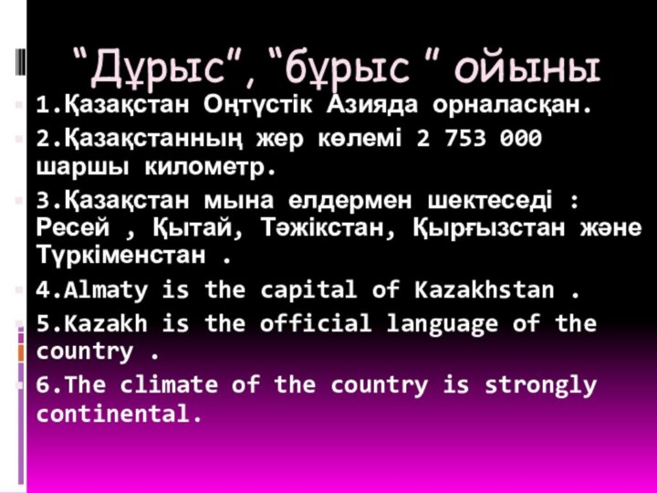
“Дұрыс”, “бұрыс ” ойыны
1.Қазақстан Оңтүстік Азияда орналасқан.
2.Қазақстанның жер
көлемі 2 753 000 шаршы километр.
3.Қазақстан мына елдермен шектеседі
:Ресей , Қытай, Тәжікстан, Қырғызстан және Түркіменстан .4.Almaty is the capital of Kazakhstan .
5.Kazakh is the official language of the country .
6.The climate of the country is strongly continental.

